
Cape May Lighthouse and the Lost City of South Cape May – State Park Spotlight

At the very southwestern tip of New Jersey, you’ll find the Cape May Lighthouse. The 157-foot tower has protected ships in the area for more than a century and a half, and seen the rise and fall of military defenses and even an entire town! So let’s take a walk and learn more about this structure and the area that surrounds it.
The Cape May Lighthouse

The current Cape May Lighthouse dates back to 1859. At its top, it reaches 165 feet above sea level and can be seen for 24 nautical miles.
This version is the third lighthouse constructed in the area. The first, built in 1823, lasted fewer than 25 years. Coastal erosion eventually destroyed it, and the site is now underwater. A second lighthouse built in 1847 only operated for 12 years until the current structure was built. Unfortunately, the sea also claimed this second iteration – evidence of the constantly shifting shoreline created by the tides that push and pull the area daily. The lighthouse was electrified in 1938 and automated eight years later.
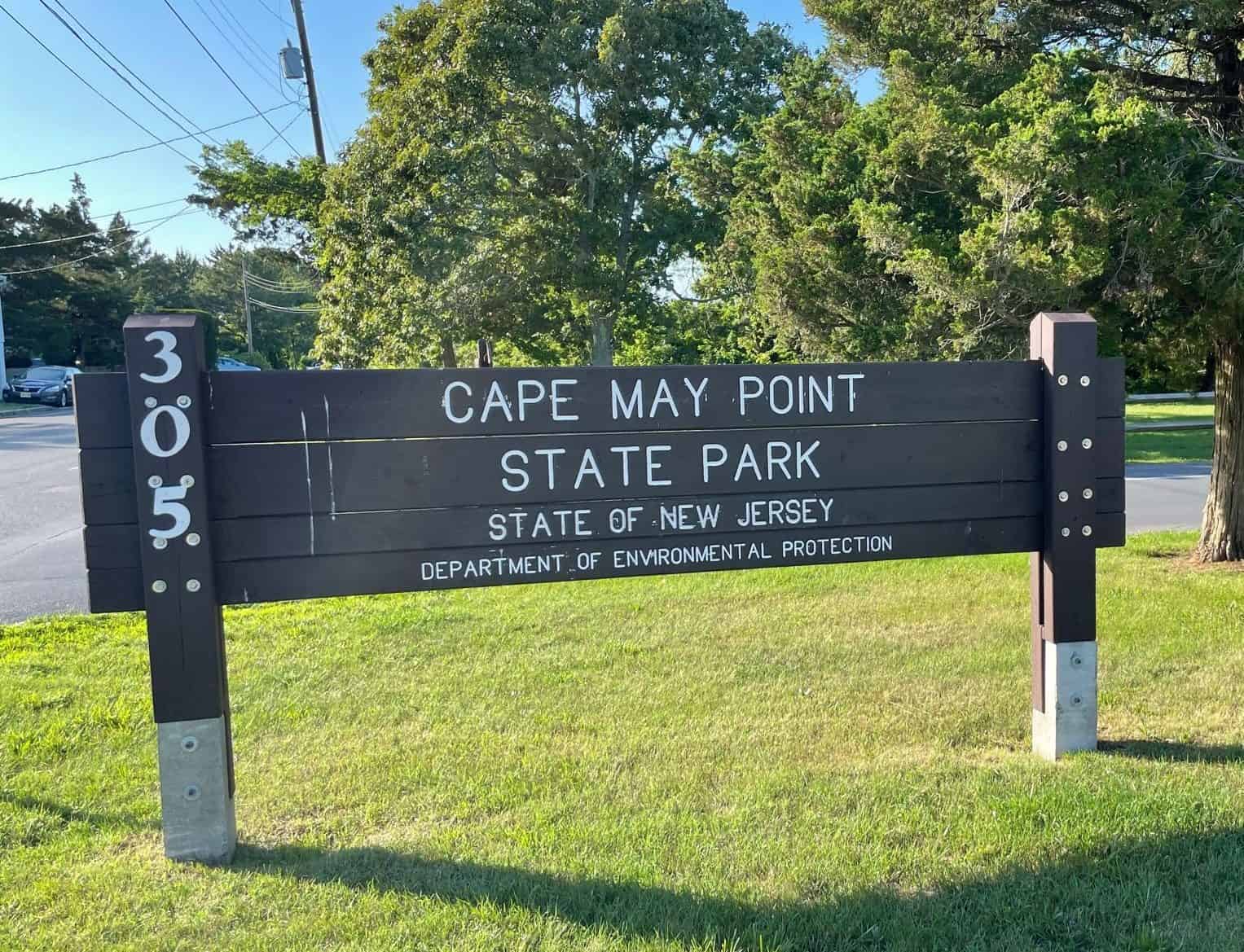
Cape May Point State Park
In 1964, the area around the lighthouse was given to the state of New Jersey. It used the land to create the current Cape May Point State Park. The lighthouse is still in operation today and open for tours for people willing to brave the nearly 200 steps to the top.
The park is also home to unique hiking, birdwatching, and surf fishing opportunities. Trails include the 0.5-mile wheelchair-accessible Red Trail along Lighthouse Pond, the 1.5-mile Yellow Trail through wetland marshes and dunes, and the 2-mile Blue Trail, which offers a longer route through the park’s varied ecosystems.

The park also lies along one of the busiest migratory bird routes in the United States. Thousands of birds stop here each spring and fall (including hundreds of hawks), as do dragonflies and monarch butterflies. The park is even home to one of the annual egg-laying sites for Delaware Bay horseshoe crabs.
Battery 223

Right in the middle of the beach south of the lighthouse, you’ll see the remains of an imposing concrete structure, looking out over the bay and the Atlantic Ocean. This is what’s left of Battery 223, a World War II-era defense position designed to hold guns defending the waters off New Jersey. Fortunately for New Jerseyans, the military never needed to use it. Built in 1942 and shortly after World War II ended, the structure has stood the test of time and remains largely intact seven decades later.
Where Is Cape May Lighthouse?
Address: 303 County Highway 629, Cape May, NJ 08204
The Cape May Lighthouse is located in Cape May Point State Park in Lower Township, NJ. This area is at the southwestern tip of New Jersey, about 1.5 to 2 miles west of the city of Cape May.
How To Get To Cape May Lighthouse and Cape May Point State Park
By Car: From Cape May, head west on Sunset Boulevard out of the city. Turn left onto Seagrove Avenue and continue about 0.6 miles. Turn left on County Highway 629/Lighthouse Road, and the park will be located 0.4 miles down the road on your left. Parking is available, and there are no entrance fees to the park.
Cape May is easily accessible via the Garden State Parkway, which runs north to south through much of the length of the New Jersey shore. Cape May is located at the very end of the road.


By Ferry: Cape May is also home to one end of the Cape May-Lewes Ferry. The service runs the approximately 90-minute trip several times a day between the Cape May terminal and its corresponding one in Lewes, DE. The ferry can transport your car on-board, and foot passengers are allowed as well. For those on foot, make sure to arrange a cab, rideshare, or other pickup in Cape May, as the terminal is not within walking distance from town nor the lighthouse/state park.
What Happened To South Cape May?
If you look at the names of the communities in the area, you’ll see a lot of directions. North Cape May, West Cape May, Cape May Point. But notably missing is South Cape May – for a reason.
Until the mid-20th century, the small community of South Cape May did exist, located roughly where you might expect – smack dab between West Cape May, North Cape May, and Cape May itself. It extended 21 blocks west of the current edge of Cape May in the direction of the lighthouse. Development in the area dates back to the mid-19th century when a local real estate investor slowly bought up the entire area, which was then mostly marshland and meadows. Developers even constructed a 58-foot tall tin and wood elephant (even larger than the famous and still-standing Lucy in Margate) to draw visitors and investors. Officially known as the “Light of Asia,” it more commonly went by Jumbo.


Stormy Weather
South Cape May was officially chartered in 1894, but there were signs that the town was doomed even before that. Starting in 1891, several decades of storms pounded the South Cape May area, dramatically reshaping the coast. The area’s much-anticipated Mount Vernon Hotel burned down before it was ever completed. In 1895, the town counted 66 full-time residents, 14 families in 14 houses. A decade later, just six full-timers remained.
Still, vacationers and developers continued to build homes in the area. Development peaked in 1929 when more than 40 homes existed at the same time. But the dream of South Cape May came to a final and abrupt end in 1944, with what was known as the Great Atlantic Hurricane. The storm destroyed many of the remaining homes, and the final residents moved out shortly after. As a result, South Cape May officially ceased to exist in 1945, when it was absorbed into the Lower Township portion of Cape May County.
Today, there’s barely a trace that there was ever a town here. The only current residents? Hundreds of birds, making the area a “globally renowned birders paradise.”


Cape May Lighthouse Beach Video
This video features a walk from Cape May Lighthouse in Cape May Point State Park to downtown Cape May, via the beach. This video was shot on Saturday, June 12, 2021. It was filmed using a chest-mounted GoPro Hero8 Black. Enjoy this bit of slow TV:
2 thoughts on “Cape May Lighthouse and the Lost City of South Cape May – State Park Spotlight”